
Topography · Orthophoto · DTM
Drone topographic survey: DTM, contour lines and orthophotos.
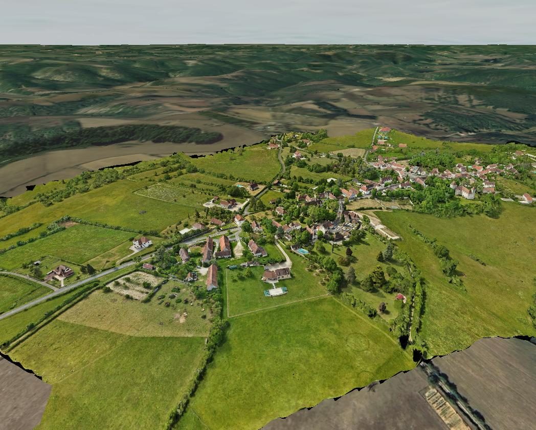
Land, villages, quarries, development areas: a drone topographic survey covers large areas in a few flights and delivers orthophotos, digital terrain models and contour lines georeferenced to the centimetre.
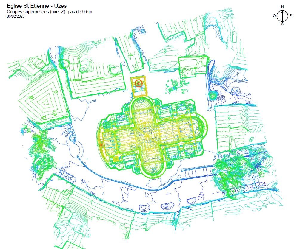
Topographic surveying by drone
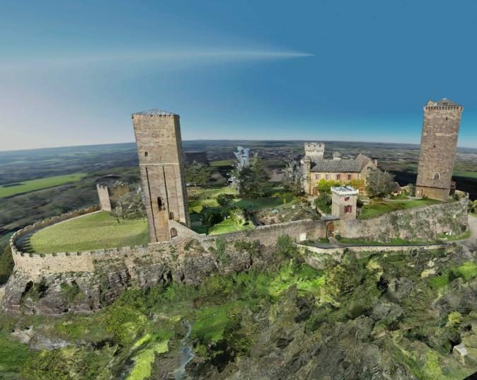
The drone flies over the area on an automatic flight plan and takes thousands of vertical and oblique photos. Tied to control points measured by RTK GNSS, these images produce a complete 3D model of the ground, vegetation and buildings, with 1 to 3 cm accuracy.
Compared with a point-by-point survey, a drone topographic survey records the entire surface: every bank, ditch or break of slope is in the model, and new measurements remain possible after the mission.
Topographic deliverables
- High-resolution georeferenced orthophotos (GeoTIFF, JPG + TFW), ready for QGIS or ArcGIS
- DSM (digital surface model) and DTM (digital terrain model) in GeoTIFF or ASC
- Contour lines at the interval you need, in DXF
- Classified point cloud and textured 3D mesh
- Profiles, areas and earthwork volumes (CSV, XLSX, PDF)
Data is delivered in Lambert 93, Lambert CC 9 zones (CC42 to CC50), WGS 84, UTM or a local grid, with NGF-IGN69 or ellipsoidal heights.
Large areas with SmartWaypoints
For a village, a quarry or a development area, our flights are planned by SmartWaypoints, our flight planning platform: flight altitude follows the terrain for a constant resolution, overlaps are set according to the target accuracy and large areas are split automatically. Because flights can be repeated, the same site can be surveyed at regular intervals to monitor changes.
What is it used for?
- Preliminary studies for development and road projects
- Quarries and earthworks: volume calculations and stockpile monitoring
- Construction monitoring and documentation at each stage
- Surroundings of monuments and buildings, alongside a heritage survey
- Natural land, environment, risk management
What about the chartered land surveyor?
A drone topographic survey provides an accurate description of the land, but it does not replace the tasks reserved for chartered land surveyors (géomètres-experts) in France, such as boundary marking and property delimitation. It usefully complements them, especially over large or hard-to-reach areas.
Projects
Selected projects.
-
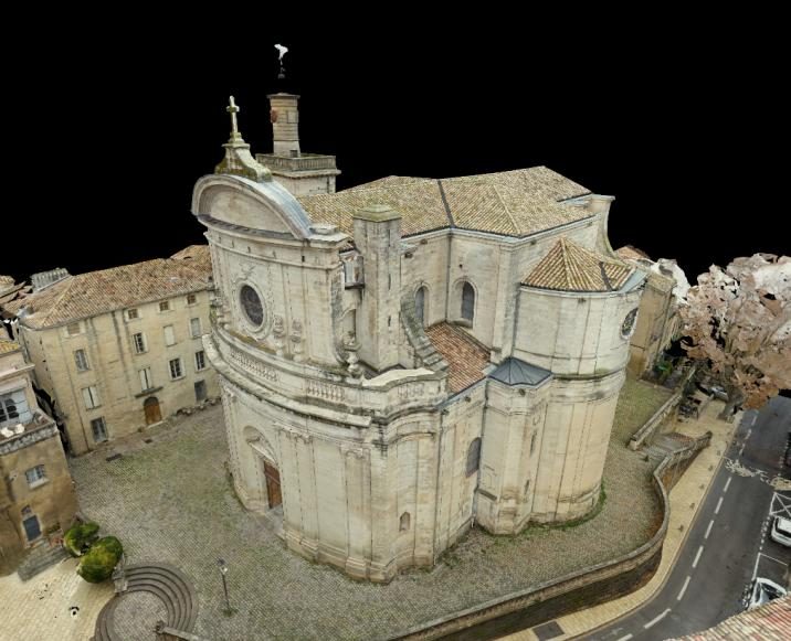
Saint-Étienne Church
Indoor and outdoor 3D survey, 0.5 m contour lines, vector views for DXF extraction.
View in 3D -
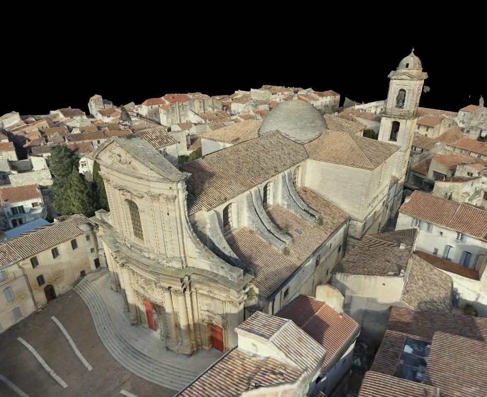
Notre-Dame des Pommiers
Indoor and outdoor 3D survey, digital elevation model of the district.
View in 3D -
-
FAQ
Your questions.
What is the difference between a DSM and a DTM?
The DSM (digital surface model) describes everything visible from above: ground, buildings, vegetation. The DTM (digital terrain model) keeps only the bare ground, once buildings and vegetation have been removed.
Does vegetation affect the survey?
Yes: photogrammetry cannot see through dense cover. In wooded areas, the ground is rebuilt where it is visible; we discuss this with you when reviewing the project.
How much area can be surveyed in a day?
From several hectares to several tens of hectares depending on the target resolution, terrain and flight constraints. Beyond 10,000 m², pricing is quoted on request.
Our services
Find out more.
-
Building 3D survey
As-built plans, sections, facades and point clouds for architects and engineering firms.
Read -
Drone photogrammetry
Definition, accuracy, regulations and deliverables of a drone photogrammetry survey.
Read -
Photogrammetry or laser scanner
Accuracy, texture, roofs, cost: a comparison to pick the right technique.
Read -
Heritage survey
Churches, castles and monuments: existing-condition surveys, archiving and presentation.
Read -
3D survey pricing
Base rates, what changes the price and worked examples.
Read
Contact
A site to survey? Let's talk about your project.
Describe your needs, with or without an estimate: we will get back to you quickly with a tailored proposal and a detailed quote.