
Pricing · Estimate · Quote
3D survey pricing: how your quote is calculated.
Our rates are public: a base package, a per-area supplement, a coefficient for the parts surveyed and travel costs. Here are the details, with worked examples.
Base rates
| Service | Package (up to 100 m²) | Beyond |
|---|---|---|
| Photogrammetric 3D survey — standard | €490 excl. VAT | €0.35 excl. VAT / m² |
| Photogrammetric 3D survey — high definition | €820 excl. VAT | €0.35 excl. VAT / m² |
| Virtual 3D tour (on top of the survey) | €590 · HD €900 excl. VAT | €0.40 excl. VAT / m² |
| Aerial photo / video capture | €300 excl. VAT | €0.15 excl. VAT / m² |
| Edited video (capture option) | €400 (≈ 1 min) · €500 (≈ 3 min) excl. VAT | |
The area is the approximate footprint of the building or zone to be surveyed. Prices exclude VAT, which is 20% in France.
What changes the price
- Area: the first 100 m² are included in the package, then €0.35 excl. VAT per m² for the 3D survey.
- Parts surveyed: the base rate covers the exterior; interior only adds +30%, interior and exterior together add +50%.
- Level of detail: high definition, for decoration, carved facades or very detailed ortho-images, starts from €820 excl. VAT.
- Travel from the Paris region: €1.00 excl. VAT per km, with a minimum of €30 excl. VAT.
- Specific deliverables in your specifications, deadlines and site access are defined when reviewing the project.
Three examples
| Project | Parameters | Estimate |
|---|---|---|
| House or small building, Paris region | 150 m² · exterior · standard | ≈ €540 excl. VAT |
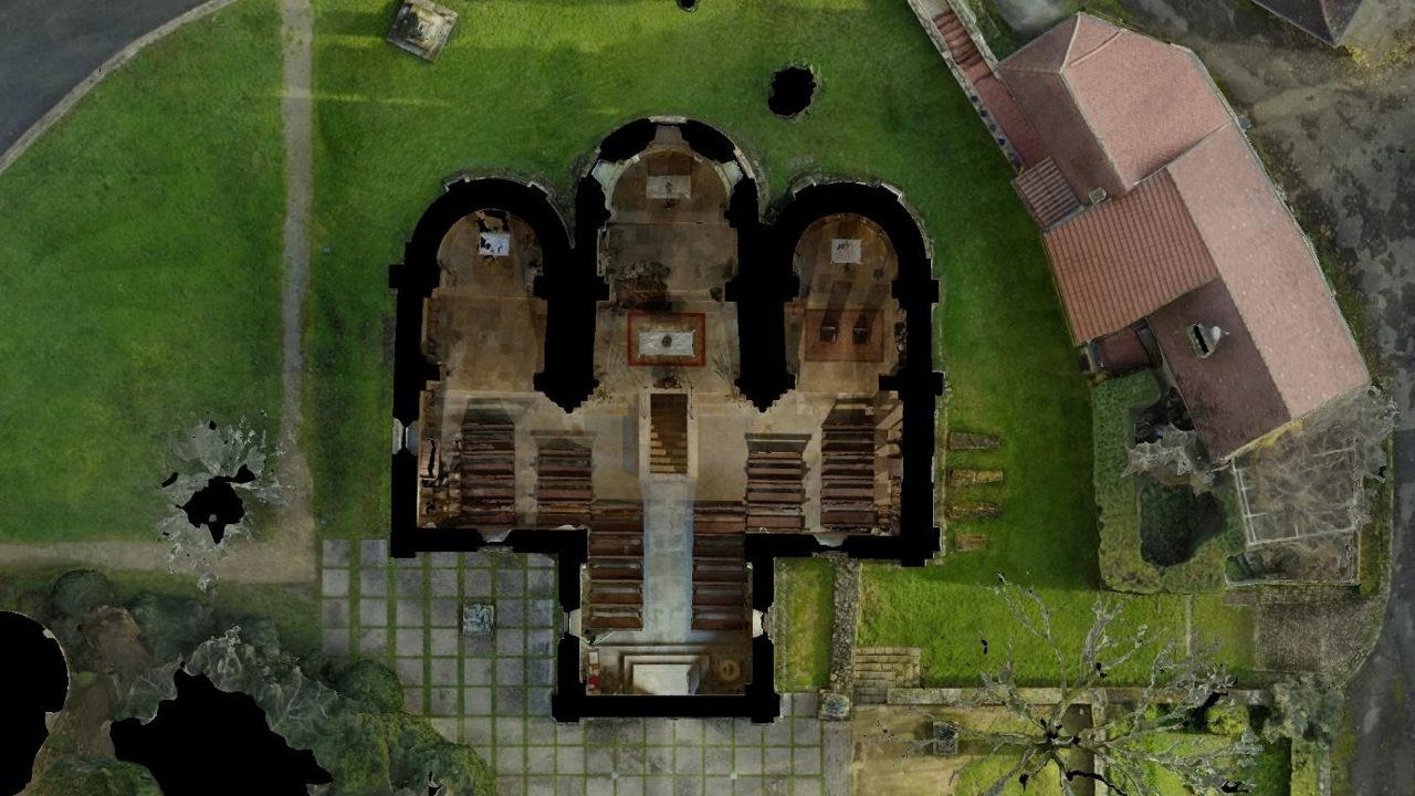
| Village church, 350 km away | 300 m² · interior + exterior · standard | ≈ €1,190 excl. VAT |
| Apartment building, 120 km away | 1,000 m² · interior + exterior · high definition | ≈ €1,820 excl. VAT |
These amounts use the same rates as the online estimator; they are indicative and not binding. The final quote is sent after discussing your project.
Large areas: quoted on request
Beyond 10,000 m² — village, quarry, development area — the survey is carried out with SmartWaypoints automated flights and priced on request. See our drone topographic survey page.
What is included
- Flight preparation, airspace checks and authorisation formalities
- Control points measured by RTK GNSS and accuracy report
- Point cloud, 3D mesh and publication in the Visuoz viewer
FAQ
Your questions.
Does the price include travel?
No, travel is added to the service price: €1.00 excl. VAT per km from the Paris region, with a minimum of €30 excl. VAT. The online estimator calculates it automatically.
How do I get an accurate quote?
Make an online estimate, then send it with your request through the contact form, stating the location, area, parts to survey and deliverables you need. We will send you a detailed quote.
Are DXF plans and sections included?
The deliverables depend on your specifications: list them in your request and they will appear explicitly in the quote.
Our services
Find out more.
-
Building 3D survey
As-built plans, sections, facades and point clouds for architects and engineering firms.
Read -
Drone photogrammetry
Definition, accuracy, regulations and deliverables of a drone photogrammetry survey.
Read -
Photogrammetry or laser scanner
Accuracy, texture, roofs, cost: a comparison to pick the right technique.
Read -
Heritage survey
Churches, castles and monuments: existing-condition surveys, archiving and presentation.
Read -
Drone topographic survey
Orthophotos, DSM, DTM, contour lines and volumes over large areas.
Read
Contact
A site to survey? Let's talk about your project.
Describe your needs, with or without an estimate: we will get back to you quickly with a tailored proposal and a detailed quote.