
3D survey · Photogrammetry · Drone
High-precision 3D surveys by drone and photogrammetry.
Visuoz digitises your buildings, monuments, sites and land to the centimetre: drone and ground capture, georeferencing with GNSS RTK ground control points, technical deliverables that meet your specifications, and a web viewer to measure, section and share the 3D model without any software.
- 1803D surveys delivered since 2024
- 80,000m² surveyed by photogrammetry
- 20French departments covered
- 1–3 cmaccuracy with ground control points
3D survey by photogrammetry
An accurate, measurable and georeferenced digital twin of your site.
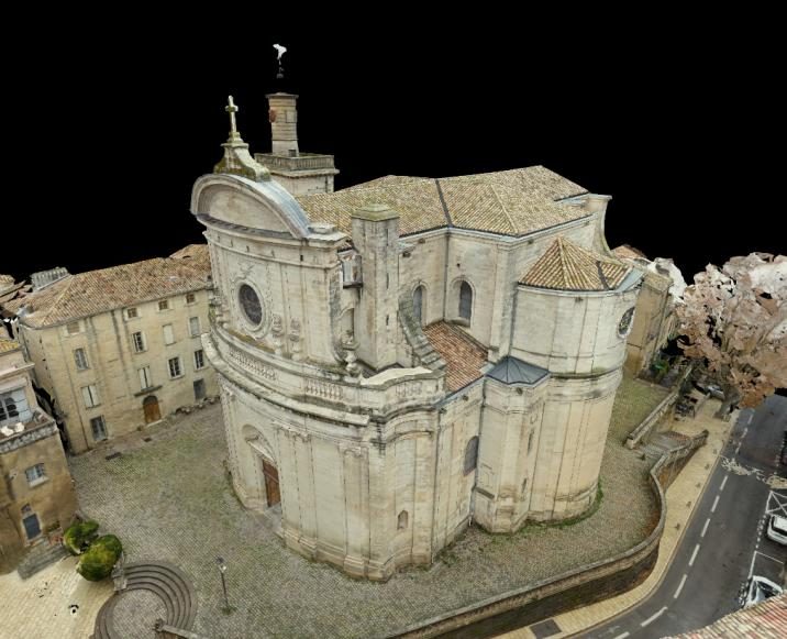
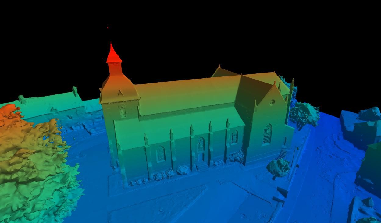
A photogrammetric 3D survey rebuilds an object in three dimensions from hundreds or thousands of photographs taken from different angles. Combined with a drone for roofs, upper façades and large areas, and with ground photography for interiors, photogrammetry produces a dense point cloud and a photorealistic textured 3D mesh.
Tied to ground control points measured with GNSS RTK, the model is georeferenced in your project's coordinate system and reaches an accuracy of 1 to 3 cm. It becomes a working document: you take dimensions and extract plans, sections, elevations, orthophotos or a digital terrain model, just as you would from a topographic survey or a 3D scan.
Faster than a manual survey, contactless and with no scaffolding, the drone 3D survey is particularly suited to cultural heritage, hard-to-reach buildings, roofs and extensive sites.
What is it used for?
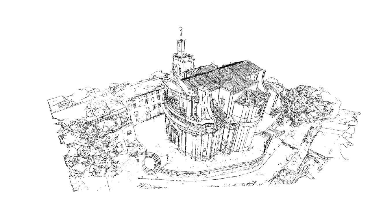
- As-built survey before works or restoration
- Condition assessment of buildings and roofs
- Plans, sections and elevations for architects and engineers
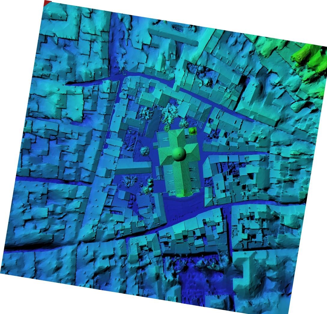
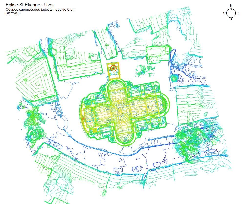
- Topographic survey, DTM and contour lines
- Construction monitoring, quantities and volumes
- Digital archiving and promotion of heritage
Survey method
From site to deliverable: a fully controlled 3D survey workflow.
Every job follows the same protocol, from flight preparation to accuracy control, to guarantee reliable and documented data.
-
01
Preparation
Analysis of the site and your specifications, airspace and flight permit checks, flight plan optimised with SmartWaypoints, choice of coordinate system.
-
02
Capture
Ground control points set out with GNSS RTK, drone and ground photography indoors and outdoors, with calculated overlaps and high-resolution equipment.
-
03
Processing
Photogrammetric computation, point cloud and mesh generation, georeferencing, cleaning and accuracy check on independent control points.
-
04
Delivery
Publication in the Visuoz viewer, export of deliverables in the required formats and accuracy report. Usual lead time: two weeks.


From site to model
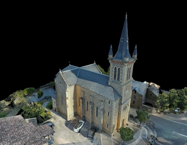
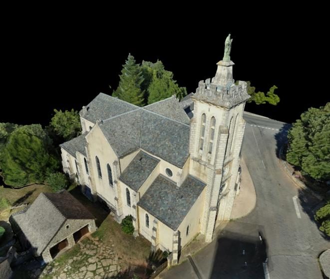
A few hours on site are enough: automated drone flights, ground photography and control points measured to the centimetre. The resulting 3D model is checked, georeferenced and published in the Visuoz viewer.
Explore a 3D surveyVisuoz Viewer
Your 3D survey, measurable in the browser and shareable with a simple link.
Developed in-house, the Visuoz viewer comes with every survey. Your teams, project managers and elected officials open the 3D model, take measurements and cut sections from a computer, tablet or phone, with no software or training. It is the tool our clients mention most.
Choose a survey · 12
Click and drag to rotate, scroll to zoom, measuring and section tools in the viewer toolbar.
-
01
Measurements
Distances, heights, areas and coordinates, directly on the 3D model.
-
02
Section planes
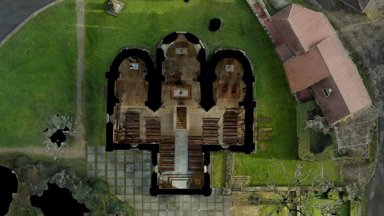
Horizontal and vertical sections to read the interior and wall thicknesses.
-
03
Orthographic views
Scaled façades and plans, exportable as high-definition ortho-images.
-
04
Annotations
Points of interest and explanatory panels placed in 3D.
-
05
Sharing and embedding
A private link to send, or an iframe to embed on your website.
-
06
Downloads
All deliverables and source photos in one place.
Deliverables
The deliverables your specifications require.
Every 3D survey is delivered georeferenced, with its accuracy report. Files open in your usual tools: CAD (AutoCAD, ArchiCAD, Revit), GIS (QGIS, ArcGIS) and point cloud software (CloudCompare, ReCap).
-
Point cloud
LAS / LAZ · E57 · PLY
-
Textured 3D mesh
OBJ · FBX · glTF · 3D Tiles
-
Georeferenced orthophotos
GeoTIFF · JPG + TFW
-
Façade and section ortho-images
TIFF · PNG · scaled PDF
-
DSM / DTM · contour lines
GeoTIFF · ASC · DXF
-
Plans, sections, elevations
DXF · DWG · PDF
-
Measurements, areas, volumes
CSV · XLSX · PDF
-
Accuracy report
GCP residuals · RMSE · system
-
Inspection reports
Automatically generated PDFs
Coordinate systems: Lambert 93, Lambert CC 9 zones (CC42 to CC50), WGS 84, UTM, or a local grid. Heights in NGF-IGN69 or ellipsoidal.
Visuoz innovation
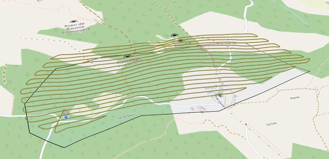
SmartWaypoints: automated drone flights for large areas.
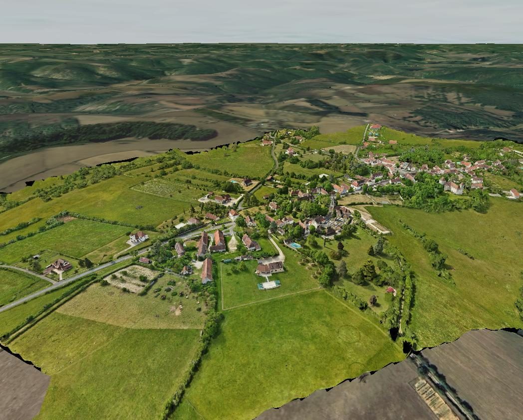
For large-area surveys — villages, quarries, natural land, development zones — we developed SmartWaypoints, our own flight-planning platform. From a simple perimeter, it computes optimised flight paths that follow the terrain and guarantee consistent resolution across the whole area.
- Terrain-following altitude for constant resolution
- Front and side overlaps set according to the target accuracy
- Automatic splitting of large areas and multi-drone scenarios
- Repeatable flights to monitor a site over time
Sectors
One 3D survey, uses tailored to each profession.
-
Heritage and historic monuments
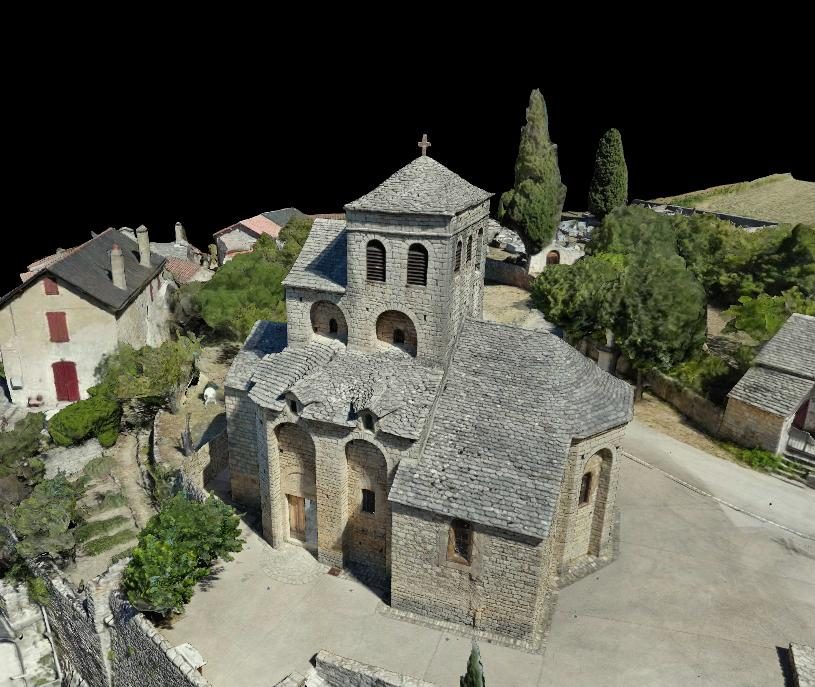
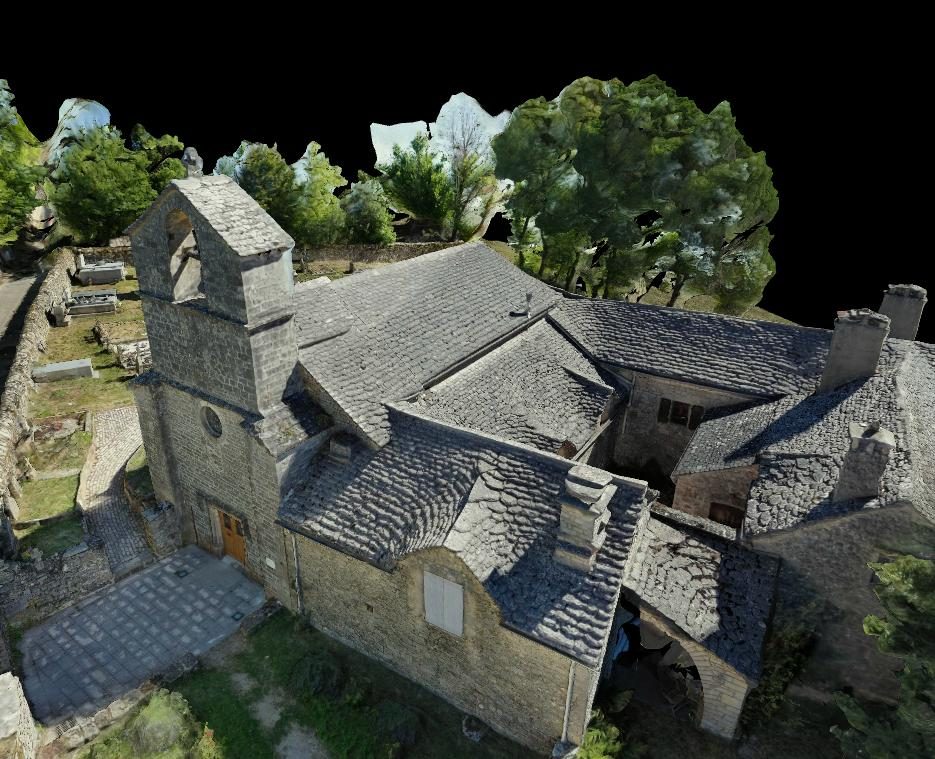
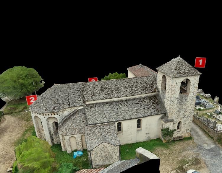
As-built surveys of churches, castles and monuments: sections, elevations and façade orthophotos for heritage architects, regional heritage services, dioceses and owners.
-
Local authorities
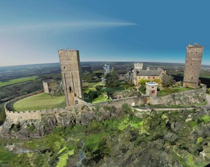
Preliminary studies, inventory of municipal heritage, works planning, tourism promotion and communication with residents.
-
Social landlords and property management
Large-scale drone survey and inspection of roofs, condition reports across the portfolio and automatically generated PDF reports for each building.
-
Architects and engineering firms
Existing-conditions survey before design: plans, sections and façades ready for CAD, point cloud for modelling.
-
Construction and site monitoring
Progress monitoring, quantities, earthwork volumes and documentation of structures at every stage.
-
Land planning and environment
Drone topographic surveys of large areas: DSM, DTM, contour lines, quarries and natural land.

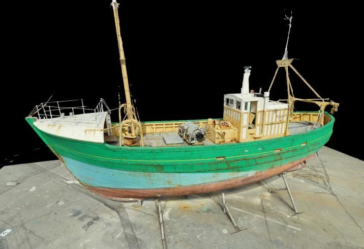
Also: tourism and promotion, industry and marine, 3D digitisation of large objects.
Projects
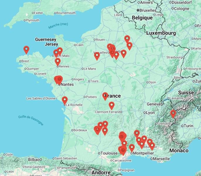
180 3D surveys since 2024, in 20 French departments.
From Romanesque bell towers to city buildings, from a single roof to an entire village: a selection of recent projects for local authorities, owners, architects and social landlords.
-
Saint-Étienne Church
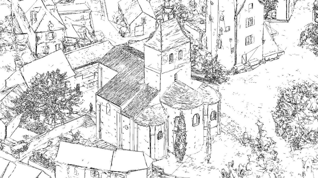
Indoor and outdoor 3D survey, 0.5 m contour lines, vector views for DXF extraction.
View in 3D -
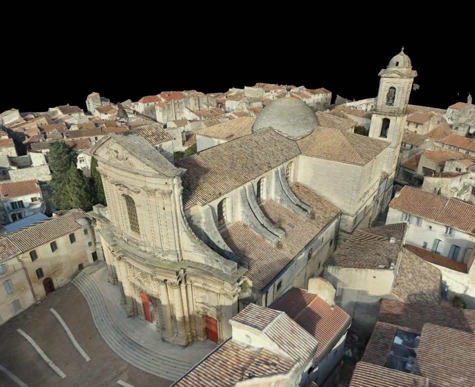
Notre-Dame des Pommiers
Indoor and outdoor 3D survey, digital elevation model of the district.
View in 3D -
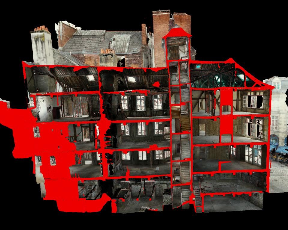
Building, 22 place Sainte-Anne
3D survey of an entire building, all levels, vertical and horizontal sections.
View in 3D -
150 roofs — Nantes Métropole Habitat
Public contract: 3D survey of 150 roofs and automatically generated PDF inspection reports.
Confidential deliverables -
Les Avant-Monts intermunicipal community
Photogrammetric survey of 5 heritage sites for a preliminary study on their tourism development.
Confidential deliverables -
Quality and regulations
Regulated operations, precision equipment.
Certified remote pilot
All categories and scenarios: A1 / A2 / A3, STS-01 / STS-02, S1 / S2 / S3. Declared flights, restricted areas checked before every job.
Professional drones
High-precision aircraft, suited both to flying close to buildings and to large areas.
Ground capture
High-resolution full-frame camera and dedicated lenses for interiors and architectural details.
GNSS RTK georeferencing
Ground control points measured to the centimetre to guarantee and document model accuracy.
Additional services
Getting more from your 3D survey than technical use.
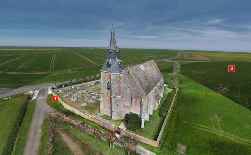
3D virtual tour
An extension of your survey: the same photogrammetric model becomes an immersive virtual tour, with paths, points of interest and explanatory panels, ready to embed on your website for the public.
Estimate the priceAerial photo and video
High-definition aerial photos and videos by drone for communication, construction monitoring or visual inspection of structures.
Estimate the priceFAQ
Everything about drone 3D surveys.
How accurate is a photogrammetric 3D survey?
With ground control points measured by GNSS RTK, our surveys reach an accuracy of 1 to 3 cm. Every delivery comes with an accuracy report showing the residuals measured on the control points.
What is the difference between photogrammetry and laser scanning?
A laser scanner (lidar) measures distances directly; photogrammetry rebuilds geometry from photographs. For buildings and heritage, photogrammetry offers a much richer photographic texture, easily covers roofs and upper parts thanks to the drone, and is more cost-effective, with centimetre accuracy that is sufficient for the vast majority of studies.
Which deliverables will I receive?
Depending on your needs: point cloud (LAS, E57), textured mesh (OBJ, FBX), georeferenced orthophotos (GeoTIFF), DTM and contour lines, plans, sections and elevations (DXF, DWG, PDF) and an accuracy report. All deliverables can also be viewed online in the Visuoz viewer.
Which coordinate system do you deliver in?
In your project's system: Lambert 93, Lambert CC 9 zones, WGS 84, UTM or a local grid. Heights are supplied in NGF-IGN69 or as ellipsoidal heights.
How long does a 3D survey take?
The usual lead time is two weeks from order to delivery, depending on weather, site size and the flight permits required. Urgent requests are considered case by case.
Do drone flights require permits?
We handle the paperwork: checking restricted areas, declarations and permit applications when needed. We simply ask for the site owner's consent.
Can you survey the inside of a building?
Yes. Interiors are captured from the ground with a full-frame camera, then merged with the exterior drone survey to obtain a complete 3D model on which sections can be cut.
Where do you work?
Anywhere in mainland France. Based in the Paris region, we have already carried out 3D surveys in some twenty departments, from Brittany to Occitanie.
Estimate the price of a 3D survey
A first estimate in a few clicks.
Choose the service, the area and the location of the site: the estimate appears instantly. Then send it with your request to receive an accurate quote.
Contact
A site to survey? Let's talk about your project.
Describe your needs, with or without an estimate: we will get back to you quickly with a tailored proposal and a detailed quote.
- By phone07 82 00 39 75
- In writingUse the form opposite — quick reply
- Head office58 rue Lucie, 94600 Choisy-le-Roi